PlayWays:
Rethinking the Middle of the Street →

“it just takes some time, little girl in the middle of the ride, everything, everything will be alright…” - The Middle, Jimmy Eat World
One thing we are still struck by since leaving Mexico City is their series of interior trails within the right-of-way of boulevards and streets.
Perhaps the most popular and well-known of these is the Hipódromo in Condesa – known as Avenida Ámsterdam, this tree lined palisade is a mile loop that follows the path of a former horsetrack. In the mid‑1920s, the racetrack was decommissioned (around 1924), and the architect José Luis Cuevas led its conversion into a residential neighborhood. The original track outline became the current oval street that is Ámsterdam. The avenue includes a central pedestrian median: richly planted, with trees, benches, and Art Deco features often referred to as a camellón. Today, Avenida Ámsterdam is one of, in our opinion, most beautiful streets in the world. Cars naturally go slower due to the narrow one-way lanes and pedestrians hidden within the interior of the street itself. Boutiques, cafes, and patios are assorted throughout the avenue’s duration. →

The Hipódromo: Cars on the avenue tend to move slowly, in part due to the narrow one-way lanes and the pedestrian-occupied median. The street is popular with walkers, joggers, and locals enjoying cafes and green space. →

So, we at Proformus thought, hey, what would this sort of concept look like for other cities? Here in the United States, we have TONS of excess right-of-way that could easily be used for a median promenade. In thinking of how to create more child-friendly and age-friendly places, we wondered “what if our streets could encourage us to be outside?”
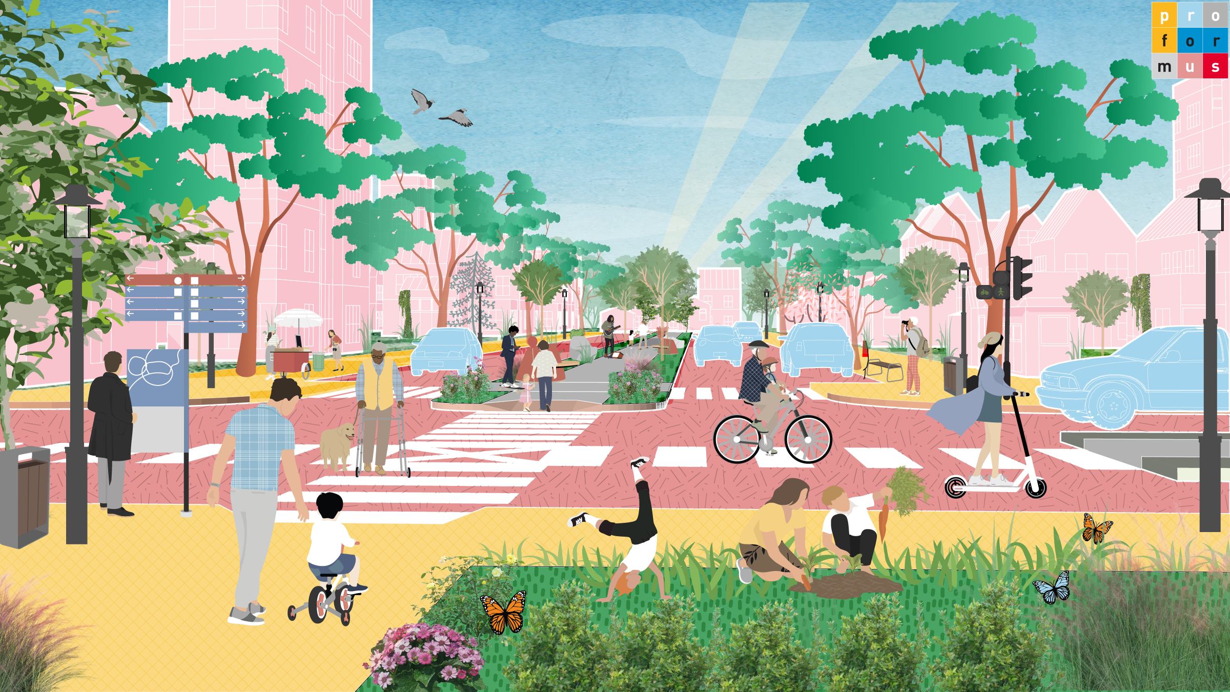
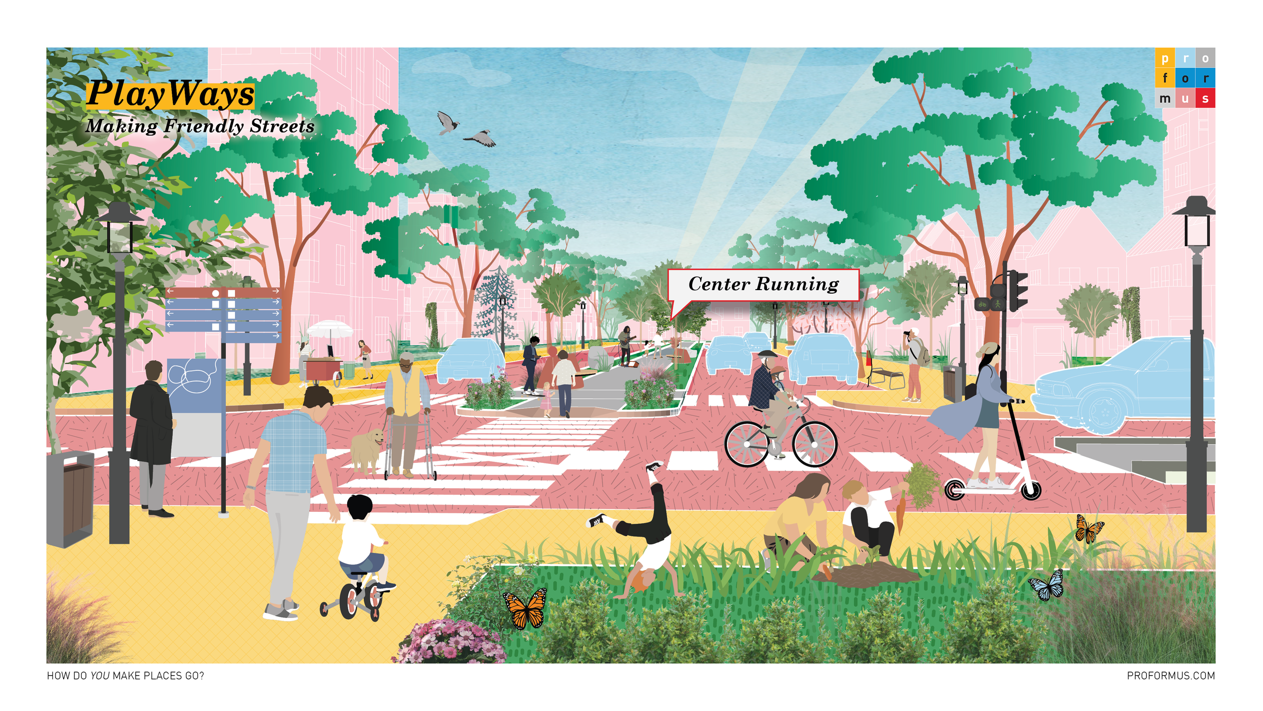
So, we came up with the PlayWay. →
This video captures our bike ride along the camellón of Paseo de la Reforma, the grand median that slices through one of the world’s most iconic boulevards. Despite being practically a highway, trails within the roadway allowed ease of movement for us on bikes. →
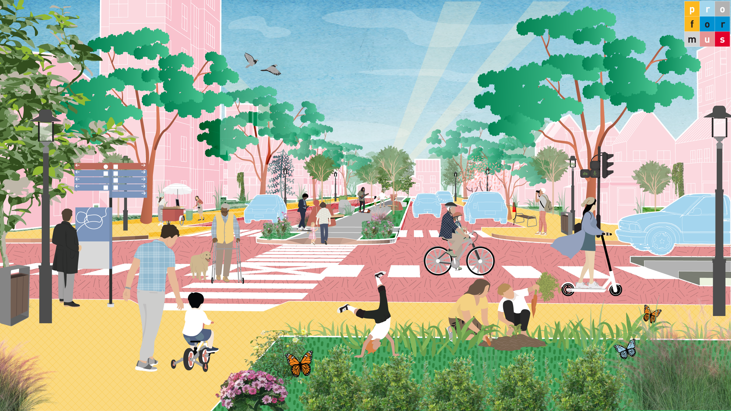

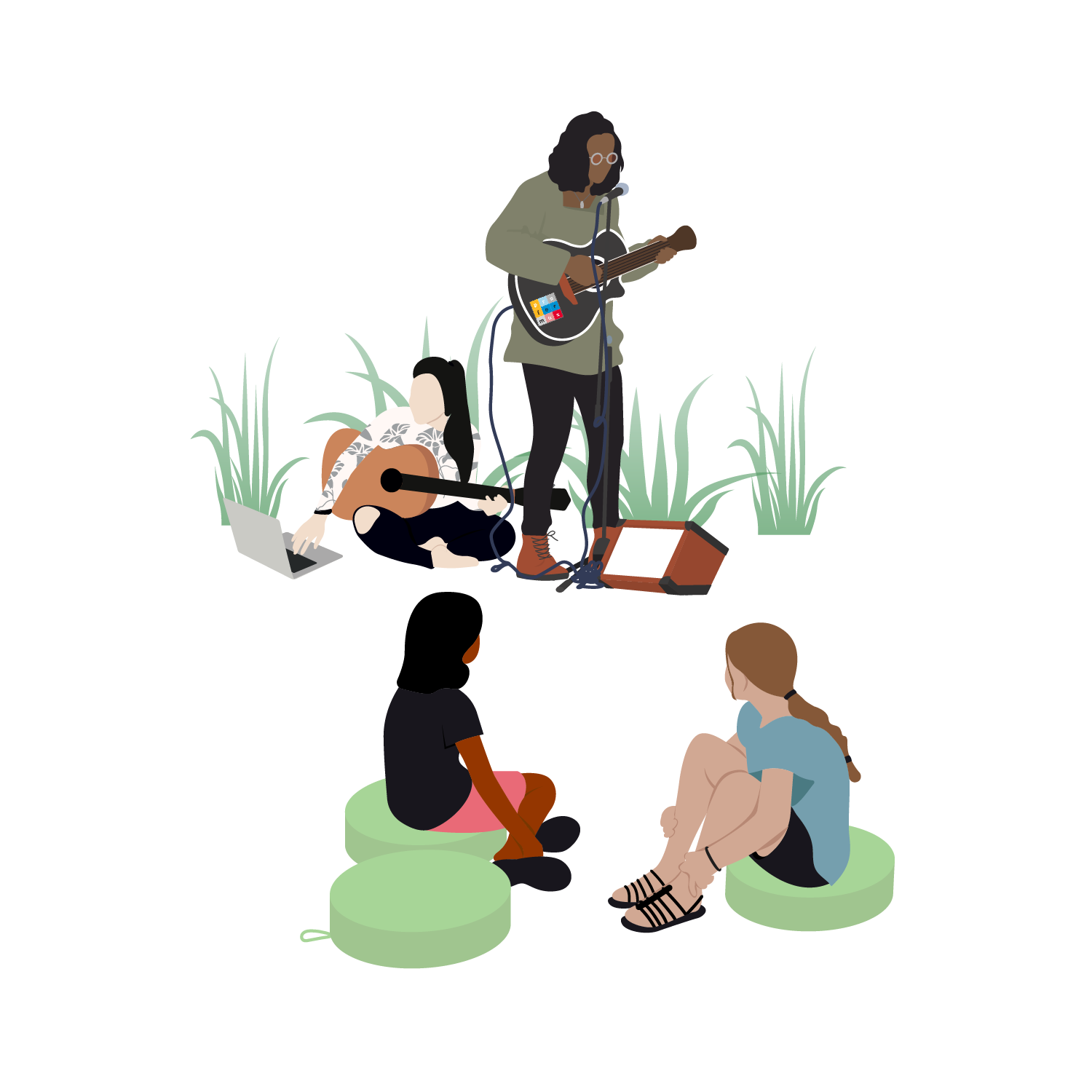
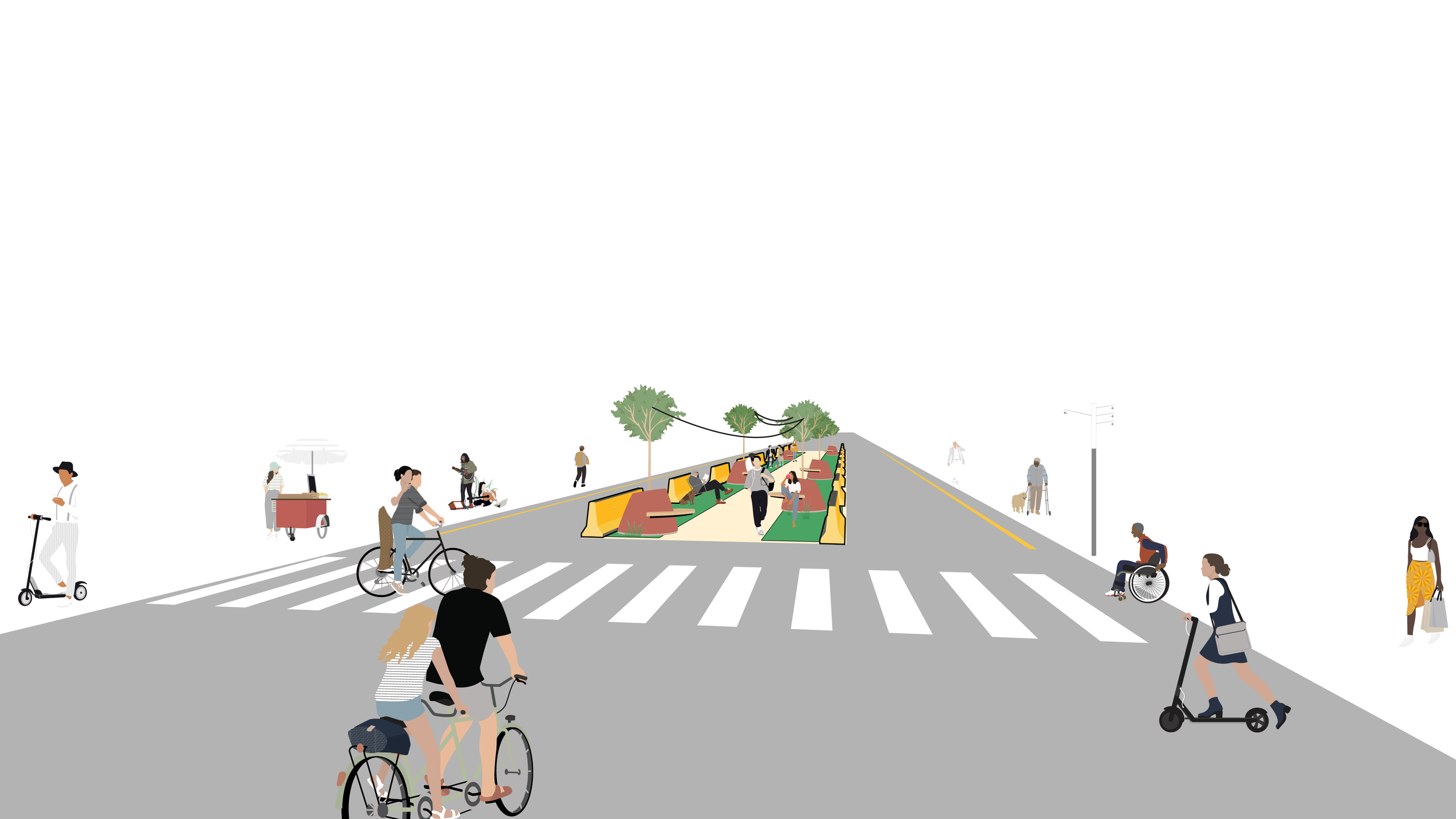
PlayWays are an internal treed promenade within streets that connect greenspaces, parks, and trails to each other. PlayWays could offer ample shaded seating opportunities, outdoor exercise equipment, and allow small vendors to peddle their sodas or wares. Think if the High Line was in the middle of a street rather than 20’ above it! →
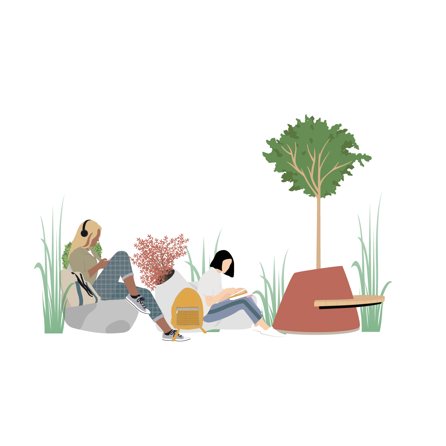
The green buffer along PlayWays could host seating and shade.

While the example above shows just a 4 foot green buffer, if expanded, that green area could truly be alot more! →

PlayWays could host fitness stations, pull-up bars, balance beams, and resistance equipment to create free, accessible outdoor gyms for all ages. These “workout rooms” can be shaded by trees and accompanied by instructional signage, encouraging healthy movement as part of daily routines.

PlayWays could Integrate low-impact play features like balance logs, climbing structures, musical elements, and soft-surface mini playgrounds along the route. These child-friendly nodes turn everyday walks into opportunities for exploration and movement, and support families with accessible, distributed play spaces.

Designated kiosks or flexible spaces along the PlayWay could host small local vendors selling fruit, coffee, ice cream, or handmade goods bringing vitality and informal commerce to a corridor. Power hookups or mobile infrastructure could support weekend markets or special events.
PlayWays could be activated with murals, sculpture gardens, rotating public art, or performance stages. These features can reflect the identity of the neighborhood and encourage community ownership through participatory design or temporary exhibitions.

PlayWays could host pinboards offer a physical space for neighbors to share events, services, job postings, or art. These analog message boards support hyperlocal connection and grassroots communication, especially in neighborhoods underserved by digital access.
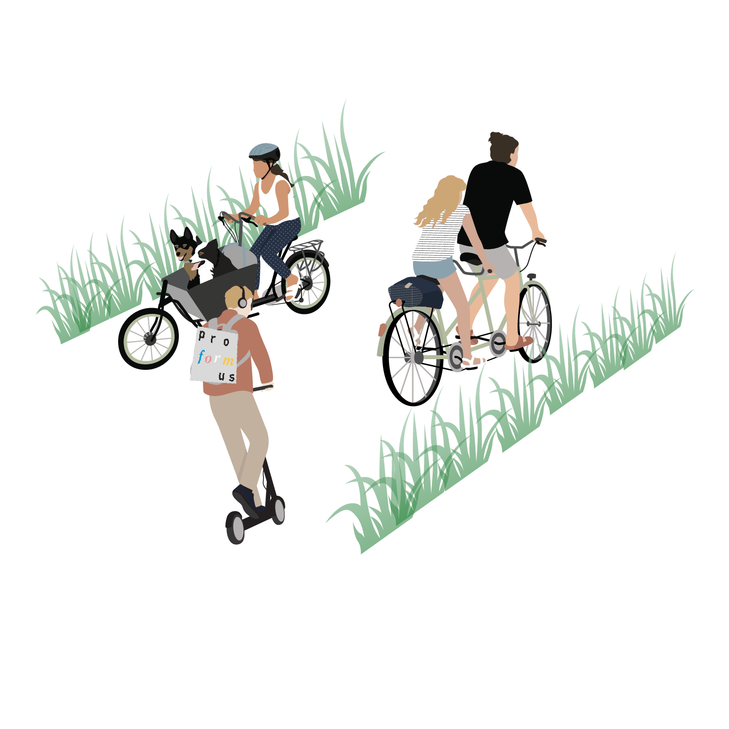
And of course, PlayWays can serve as connective tissue between bike lanes, bus stops, greenways, and nearby neighborhoods. They could act as calm, shaded corridors that prioritize multimodal access for scooters, bikes, wheelchairs, and other forms of mobility. And yes, joggers and doggos too!


And of course, PlayWays don’t require huge infrastructure costs upfront – they can be created incrementally.
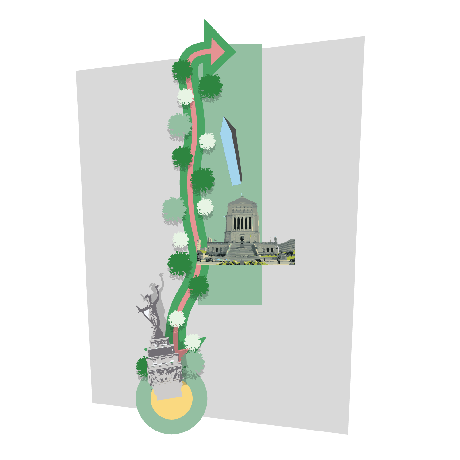
A strong opportunity lies right here in our home city of Indianapolis, where two major downtown destinations, Monument Circle and the Central Library, could be linked to form the foundation of a "PlayLoop." This area, which includes the American Legion Mall, holds the second-highest concentration of monuments in the United States, just behind Washington, D.C. Yet the pedestrian experience along Meridian and Pennsylvania Streets, the two north-south arterials that border the mall, is stark and uninviting. Blank facades, including a federal courthouse and the monolithic AT&T tower, stretch across just three blocks, but make the distance between Obelisk Square and the Soldiers and Sailors Monument feel much longer than it is. →

There is a mere half mile that separates the Central Library, World War Memorials, Obelisk Square, and Monument Circle but the experience walking between them feels far further. →
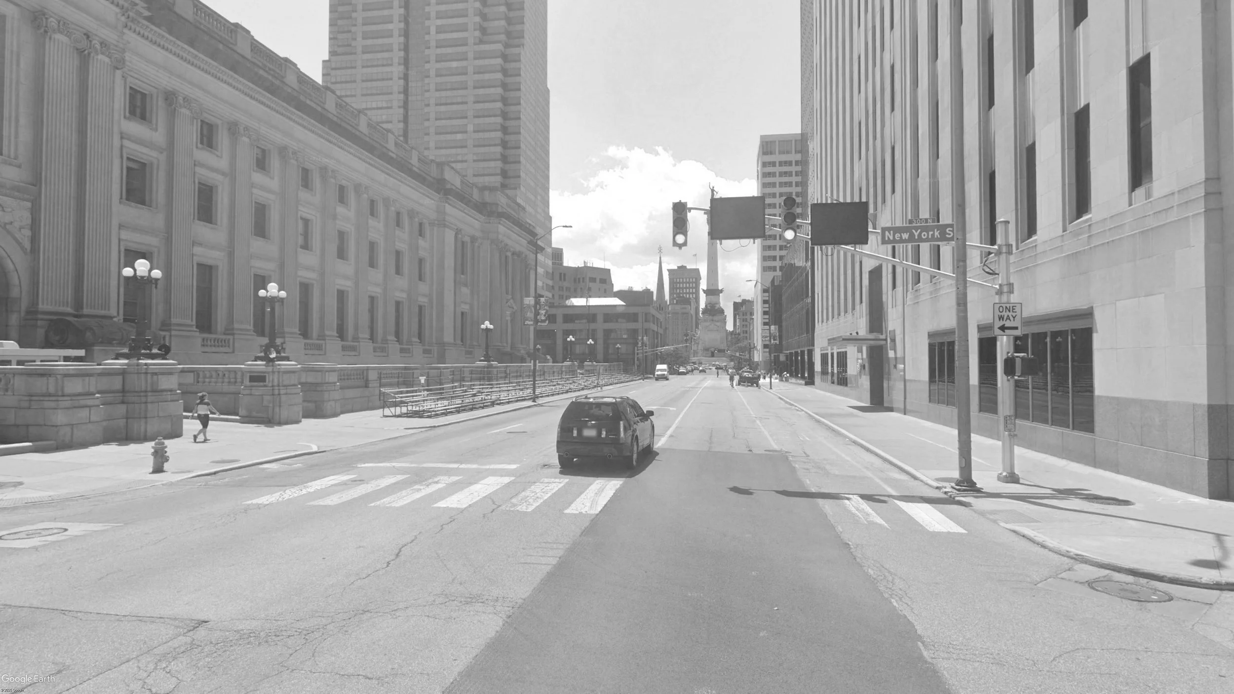
Meridian Street, along with Market Street, is the central axis of Indianapolis’s street grid and its roundabout around the Soldier’s and Sailor’s Monument gives the Circle City its namesake. The stret connects most major institutions, monuments, and population downtown, yet hardly feels like a Main Street. How could we incrementally improve this? →

First, the city could repaint the roadway to eliminate crossing distance and tighten up the roadway. Special considerations should be made for bus and turn lane traffic. Here, two generous 13’ lanes are permitted along with a 20’ median along Meridian. →

Secondly, fillable traffic barriers could be put up to delineate the new median PlayWay lane. This would be low-cost as the city already has a stock of barriers. →

Water/Sand filled traffic Jersey Barriers typically go for around ~$200 a piece but usually cities have a backlog unused.

Next, you could lay some outdoor carpeting or artificial grass along the barriers to create a sense of green and respite. →
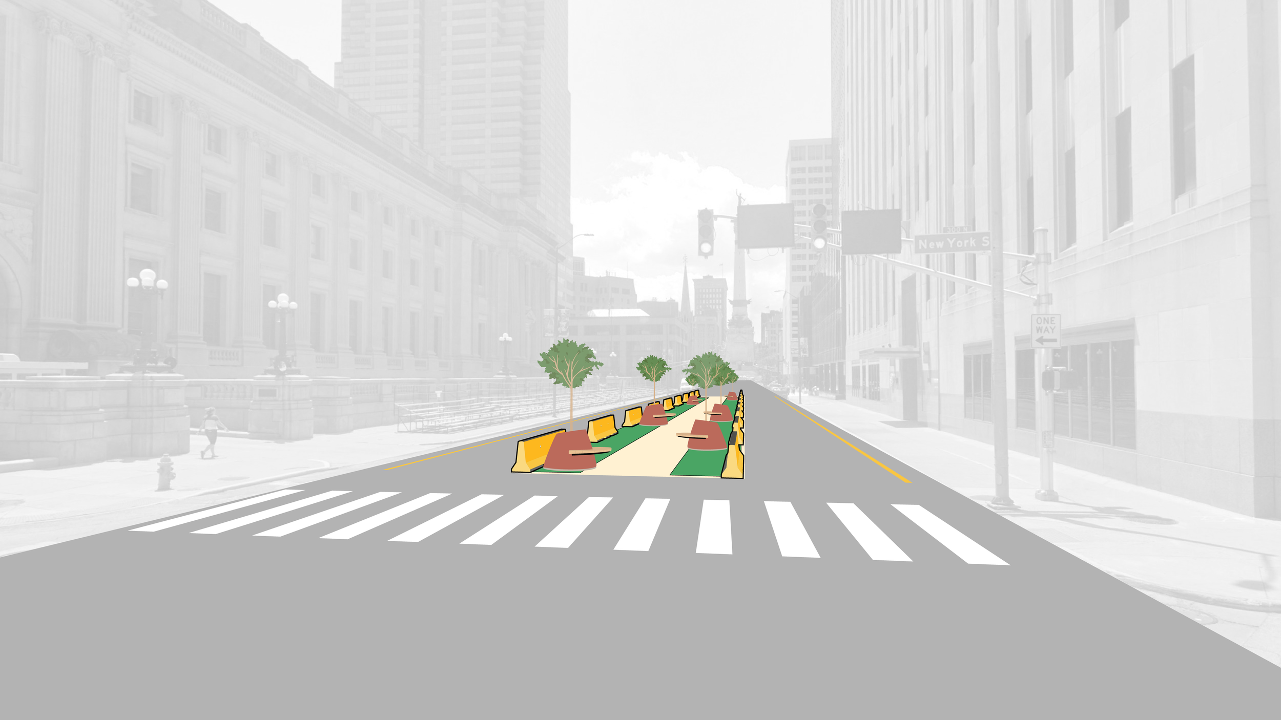
Lastly, add some seating with a shading element. These could initially be artificial trees, or even utilize planter potted trees temporarily. The shading element should allow for hanging lights. →

Large 6’ x 9’ artificial grass mats can be purchased as low as $50-$60. For a 200’ block, the total cost for “grass” would be less than $3,000, a tiny fraction of what new hard construction would cost for permanent infrastructure. →

Block by block the PlayWay could be compiled until it creates a PlayLoop from Monument Circle to the Library, helping to connect two key destinations and make Meridian a truly unique urban place. →
PlayWays.
Make your places go.