
Our Practice
Four corners at a time.
Proformus is an urban planning practice that reads a place before it draws one. Parcel data, market reality, and neighbors' own maps go on the same table, and what they agree on becomes the plan. We start where cities are actually built: one block, four corners, and the decisions made on each of them.
What we do
The Swiss Army knife of urban planning.
Four tools, one practice. Every project draws on all four, because places don’t separate their problems into disciplines.
-
The magnifier
We look closer. Neighbors see what the map misses, and we make sure what they know carries real weight.
Projects & toolkit -
The saw
We cut big sites into buildable parcels, with feasibility and site strategy that make good projects pencil.
Projects & toolkit -
The ruler
We measure twice: vision plans and frameworks drawn to the block, from a single corner to the whole district.
Projects & toolkit -
The scissors
We cut red tape: zoning reform, codes and entitlements that clear the path to building.
Projects & toolkit
The planners and designers at Proformus work at the intersection of place, pattern, and placekeeping. We listen first, draw second, and measure success in places people love — joining community voice with development reality so neighborhoods grow without losing themselves.
Think by block.
At Proformus, the block is our unit of thought. Every city, district, and corridor resolves to the same essential piece: one block, four corners, and the decisions made on each of them.
Zoom out far enough and every plan becomes an abstraction. Zoom in to the block and planning gets real — a handful of buildings, a few property lines, and the neighbors who share them. Big visions only earn trust when they can be built one block at a time, so that's how we think, draw, and deliver.
Listen first, draw second.
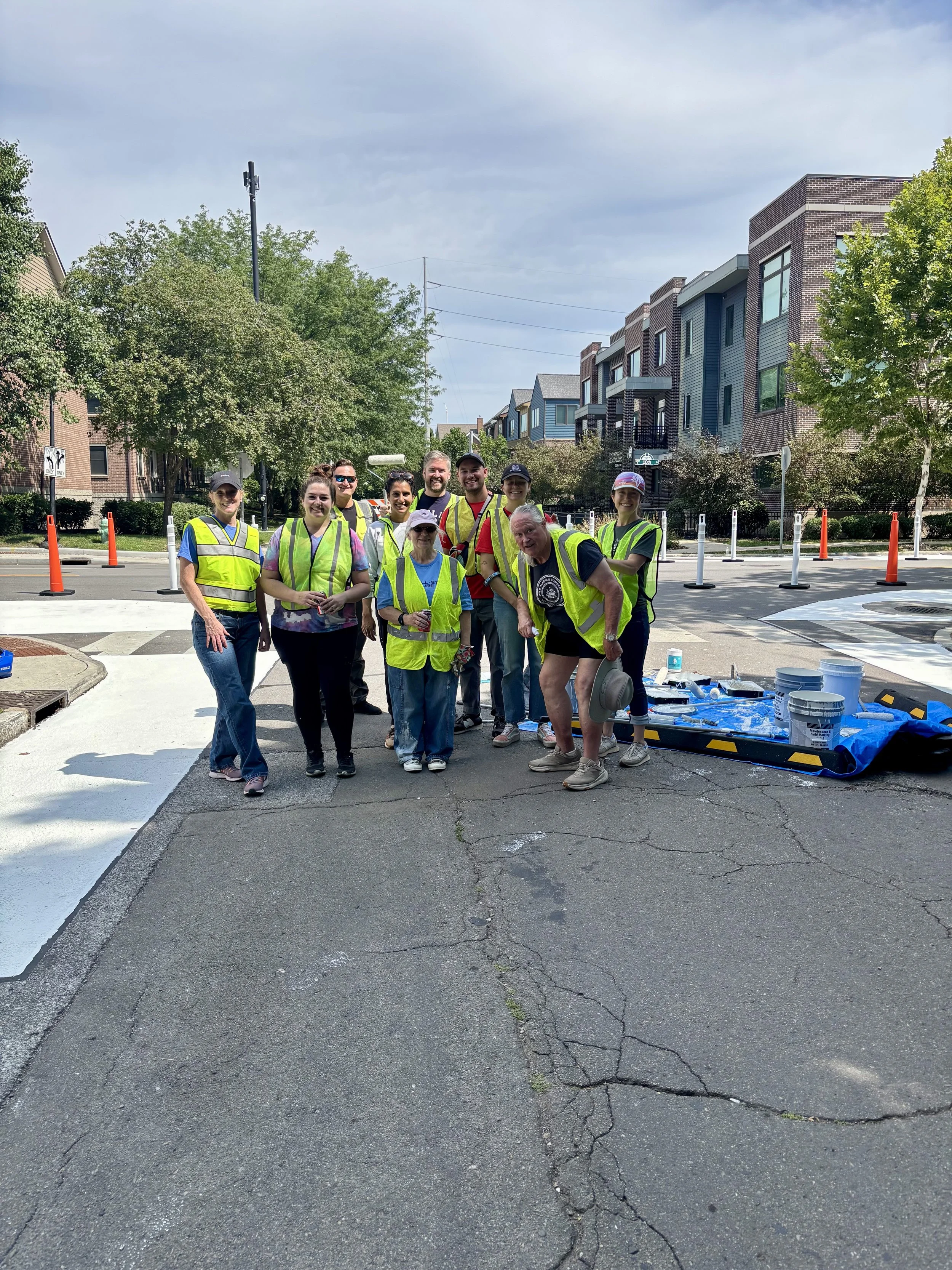
We don't talk at people to plan — we listen to them. Engagement is participatory spatial analysis: the community tells us what the map misses, and that knowledge carries the same weight as any dataset we bring to the table.
Joy is a planning tool. We gamify engagement and design memorable experiences because people give their best ideas when they're having a good time. Delight isn't decoration; it's how honest input gets gathered.
How we read a place
Place, space, and the relationships between them.
Every place gets the same reading before we draw a line. We look at it through three lenses, and each lens tells us what to measure — so the data we gather isn't a pile of map layers but a portrait of one place, built from the record and from the people who live it.
-
Place
What a location is and means: its uses, institutions, stories, and the everyday life on it. This is what neighbors know and maps don't.
We gather: what people love and what worries them, geocoded and scored; visitation; active edges and storefront life.
-
Space
The physical container: lots, blocks, buildings, streets, and open space, and the form they take together.
We measure: parcel-level assessment and value per acre; vacancy; land use; building form and frontage; canopy and park access.
-
Relationships
How place and space connect: the routes people choose, the edges where blocks meet, and the ownership, market, and fiscal ties that decide what can change.
We model: route choice and block connectivity; commute and visitor flows; ownership patterns; fiscal productivity; market absorption.
Then, and only then, we draw — and what we draw is the same for a single lot as for a district: a measured challenge, a site-specific move, and the math and policy that can fund it.
Placekeeping before placemaking.
Every neighborhood is already someone's place. We start by honoring what a community is — its people, institutions, and stories — and build toward what it wants to become, not what a rendering says it should be.
It's why our plans work as overlays rather than replacements. They take what a neighborhood has already decided about itself and focus on what comes next.
Guide emergence, don't prevent it.
Cities aren't designed once. They emerge block by block, decision by decision. We shape strategies, plans, and guidance that adapt as neighborhoods reveal what they need next — rules that guide rather than restrict.
That conviction has a name here: Emergent Planning, our framework for working with how cities actually grow.
It all comes back to the block — and the neighbors who share it.
pro·for·mus [n.]
Origin: Neo-Latin, from pro ("for, in favor of") + formus (from forma, "shape or structure").
- For form; in favor of shape and structure.
- An urban planning firm that bridges data, design, and the built environment — from the scale of a single lot to the city.
Who we are
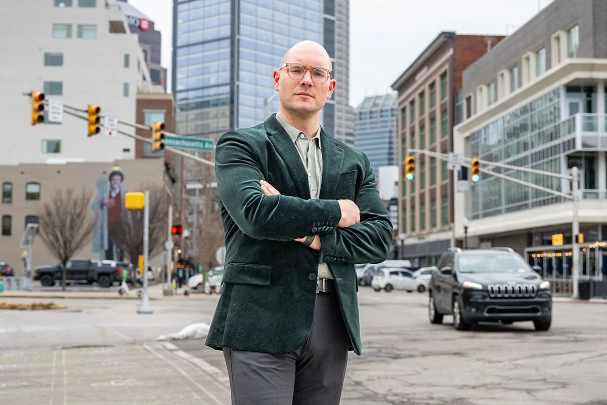
Proformus is led by founder Jeffery Tompkins, AICP, an Indianapolis-based urban planner and designer whose practice bridges policy, design, and the built environment — from a single lot to an entire district.
Jeffery's path runs from a global design firm — where he worked at the Design Director level on projects spanning continents — to co-leading planning for the Indy Health District, the largest planned health innovation district in the Western Hemisphere. Working at that scale taught him a counterintuitive lesson: the power of thinking big comes from thinking small.
Proformus was built on that lesson. Around its core, the practice assembles collaborator teams tuned to each project — spanning engagement, market analysis, zoning policy, and graphic design.
Our services in detail
Four disciplines, one practice.
Every engagement starts by reading how a community actually works, and ends in something a neighborhood, a developer, or a city can build. Under each service: the projects we’re built for, named the way they show up in requests for proposals, and the toolkit behind them. Click a service to see the work.
Community Engagement

The community tells us what the map misses.
We lead with joy to gamify and create memorable experiences that gather community input and aspirations — then combine this with geospatial mapping to understand physical ramifications. Comments get pinned to the blocks they're about, scored for sentiment and topic, and read like any other layer of evidence.
Explore all our engagement work →Who hires usCities and counties · MPOs and transit agencies · Community foundations · Main Street, arts and business districts · CDCs
Projects we’re built for
- Public Engagement for Comprehensive Plan UpdatesA full participation program for a city or county plan: engagement plan, pop-ups where people already gather, an online map survey, and a what-we-heard report that becomes the plan’s evidence base.
- Neighborhood & Downtown VisioningWorkshops and multi-day charrettes that turn residents’ ideas into a shared vision, guiding principles and a short list of priority projects.
- Public Participation for Corridor & Transportation StudiesEngagement for MPO and DOT studies: walk audits, intercept surveys and mapped comments tied to the exact intersections and blocks they’re about.
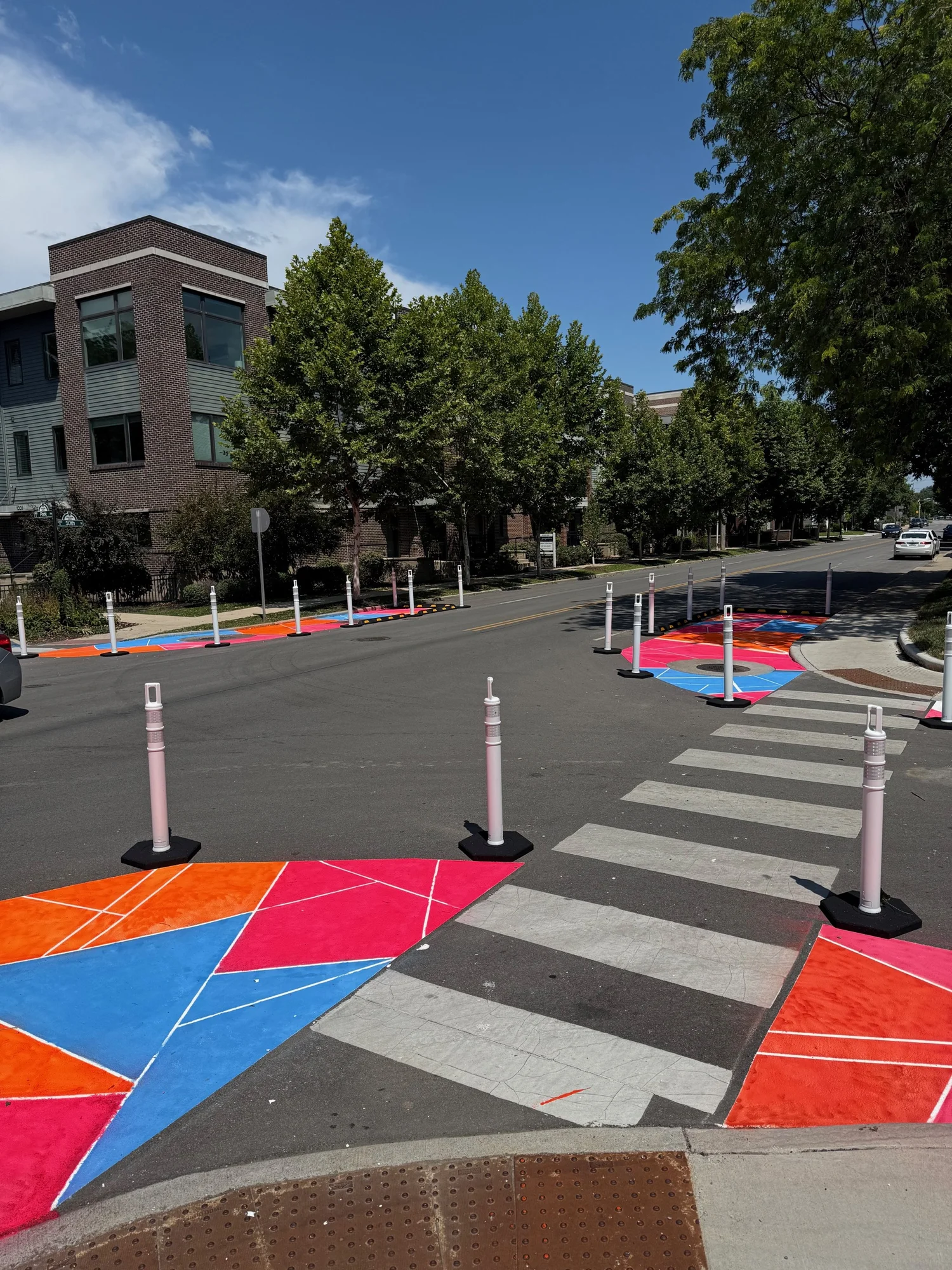
- Placemaking & Tactical Urbanism PilotsPop-up plazas, parklets and painted crossings that test an idea for weeks before a city commits capital to it.
- Engagement Reports & Plan StorytellingPlain-language summaries, display boards and project microsites that show residents exactly how their input shaped the plan.
The toolkit
Engagement Strategy & Facilitation
We design the whole arc of a public process — who needs to be heard, where they actually are, and how each touchpoint feeds the next — then run the rooms ourselves.
Participatory Mapping & Pop-Up Events
Eight-foot maps, parklet builds, a rotary phone taking voicemails for a district's future: activities that pin comments to real blocks, so every sticky note becomes a data point with an address.
Stakeholder & Steering Committee Coordination
Advisory groups, merchants associations, and institutional partners kept aligned through regular updates and decision-ready materials, so the plan never gets ahead of the people who have to carry it.
Tactical Placemaking
Temporary installations that test an idea on the street before anyone pours concrete — and let neighbors judge the result in person rather than in a rendering.
Visual Storytelling & Graphic Design
Boards, newsletters, and reports designed to be read on a sidewalk, so what the community said and what the plan proposes are legible to the people who live with both.
Development Strategy
Great places have to pencil.
We understand market and real estate conditions to project realistic, actionable scenarios for developers and municipalities — then actualize them. The numbers come first: what a site can carry, what it will earn, and what it asks of the public, so the vision and the pro forma are the same document.
Explore all our development strategy work →Who hires usCities and redevelopment commissions · Developers and landowners · CDCs and land banks · Economic development organizations
Projects we’re built for
- Market & Feasibility StudiesResidential, retail and mixed-use demand, rents and absorption, with parcel-level pro formas that show what pencils today and what it would take to make the rest pencil.
- Catalytic Site & Redevelopment PlansConcepts, phasing and numbers for publicly owned sites, dead malls, brownfields and surface lots, ready to carry into a developer solicitation.
- Housing Studies & Missing Middle StrategiesHousing needs assessments paired with buildable prototypes for duplexes, fourplexes, cottage courts and ADUs on real lots.
- TIF, Economic Development & Funding StrategiesDistrict strategies that tie public investment to the private development it unlocks, with value-per-acre math and grant-ready narratives for state and federal programs.
- Developer RFQ / RFP PackagesSite packages, development guidelines and evaluation criteria for cities offering land to builders, so the right proposals come back.
The toolkit
Development Scenario Planning
Alternatives for a site or district, each tested for what it builds, what it earns, and what it asks of the public — so the choice is between real options, not a rendering and nothing.
Feasibility Studies & Infill Pro Formas
Parcel-level numbers — land, construction, rents, absorption — that tell you whether a project pencils before it gets drawn.
Site & Market Analysis
Highest-and-best-use reads grounded in demographic, real-estate, and fiscal-productivity data rather than optimism: which edges want storefronts, where access can live, where underused ground holds district-scale opportunity.
Economic Development Strategies
Corridor and district strategies that pair investment targets with the policy tools and partners that can fund them — value-per-acre math attached to every move.
Housing Prototypes & Missing Middle Design
Duplexes, fourplexes, cottage courts, and ADUs drawn to real lots and real codes, so gentle density has a buildable form and a number beside it.
Urban Planning
Cities aren't designed once. They emerge block by block.
We work in a design language to create and craft experiences for neighbors and municipalities — and enact implementable best practices. Plans read a place as one system, land use to open space to the way people move through it, then resolve into site-specific moves a community can fund and a city can permit.
Explore all our planning work →Who hires usCities, towns and counties · Redevelopment authorities · Hospitals, universities and other anchors · Foundations and nonprofits
Projects we’re built for
- Comprehensive Plan UpdatesCity and county plans built on parcel-level data and real engagement, with a future land use map and an implementation matrix staff can actually work from.
- Neighborhood, Downtown & District PlansSmall-area plans for the places where change is happening, resolved into fundable, parcel-specific moves.
- Corridor Plans & StudiesLand use, connectivity, open space and character read as one system along a corridor, then phased into projects.
- Campus & Institutional Master PlansHospital, university and civic campuses planned as part of the neighborhood around them, not islands within it.
- Parks, Public Realm & Open Space PlansStreetscapes, plazas and greenways sized to the people who will actually use them.
The toolkit
Neighborhood & District Vision Plans
Community-led plans that pair honest existing-conditions analysis with fundable, parcel-level strategies for growth on a neighborhood's own terms — without pushing anyone out.
Corridor & District Frameworks
The armature first: land use, connectivity, open space, and experience read as one system, then drawn as the handful of moves that change a corridor's trajectory.
Campus & Institutional Master Planning
Campuses planned as nodes in a neighborhood fabric rather than islands — integrated physically and functionally with the institutions and streets around them.
Urban Design & Concepts
Massing, streetscape, and public-realm concepts drawn to the block, with the zoning envelope modeled first and used as the design brief.
Public Realm & Open Space Strategies
Greenspace over empty parking, third places sized to the households that actually live there, and streets treated as a district's largest public room.
Codes & Ordinances
Design intent and policy should speak the same language.
We work across the country with staff to balance resident priorities and development pressures, crafting development in its best form — and illustrating it in an accessible way. A code that can be read is a code that gets used, by the board that adopts it and the builder who has to follow it.
Explore all our codes and ordinances work →Who hires usPlanning departments · Plan commissions and councils · Zoning consultants, as a graphics and engagement partner · Housing and advocacy organizations
Projects we’re built for
- Zoning Code & UDO RewritesUnified development ordinances rewritten to deliver what the comprehensive plan calls for, with clear tables and graphics.
- Zoning Diagnostics & Code AuditsA clause-by-clause read of what your code allows and what it blocks, with prioritized fixes.
- Form-Based Codes & Design GuidelinesStandards for downtowns, corridors and historic districts that regulate form and frontage, illustrated so anyone can use them.
- Housing & Missing Middle Code AmendmentsTargeted amendments to lot sizes, parking, ADUs, single-stair buildings and by-right infill.
- Code Illustration, User Guides & Policy ToolkitsGraphic codes, quick guides and toolkits (urban agriculture, adaptive reuse) that a city can adopt as written and residents can actually read.
The toolkit
Zoning Strategy & Policy Alignment
Reading existing codes the way a lender will, then aligning zoning with the comprehensive plan and the development the community says it wants.
Zoning Code Audits & Rewrites
Clause-by-clause audits of what a code actually allows, and rewrites that remove the barriers to the places its own plan calls for.
Form-Based Codes & Design Guidelines
Standards that regulate the shape of the street wall, not just the use behind it — so predictability and character come from the same rules.
Entitlement & Rezoning Support
Rezoning, variance, and plat navigation for property owners and small developers, with the drawings and findings a board needs to say yes.
Specialized Toolkits (Urban Agriculture, Adaptive Reuse)
Complex land-use policy translated into visual frameworks a city can adopt as written — the Urban Farms Toolkit is the model.
How can we build together?
Great places don't happen by accident — they are co-created. Whether it's a single lot or a neighborhood master plan, we help you make your places happen.
Let's talk